01
GeoAI & Geospatial Foundation Models
Advanced AI for spatial data, satellite imagery, automated analysis and feature extraction.
TECHNOLOGY 03
Turning Earth data into operational intelligence.
We combine geospatial data, satellite imagery, AI and spatial infrastructure to help organizations understand what is happening in the physical world — and act on it.
Our focus is on moving from maps and datasets to continuous operational intelligence.
CORE CAPABILITIES
01
Advanced AI for spatial data, satellite imagery, automated analysis and feature extraction.
02
Turning satellite, aerial and remote-sensing data into actionable information.
03
Scalable, interoperable and AI-ready environments for managing and connecting geospatial data.
04
Dynamic digital representations of infrastructure, assets and physical environments.
05
Combining location, IoT, sensors and events for continuously updated situational awareness.
06
Connecting geospatial analytics with workflows, alerts and real-world decision-making.
SELECTED WORK
Technology proven through real systems.
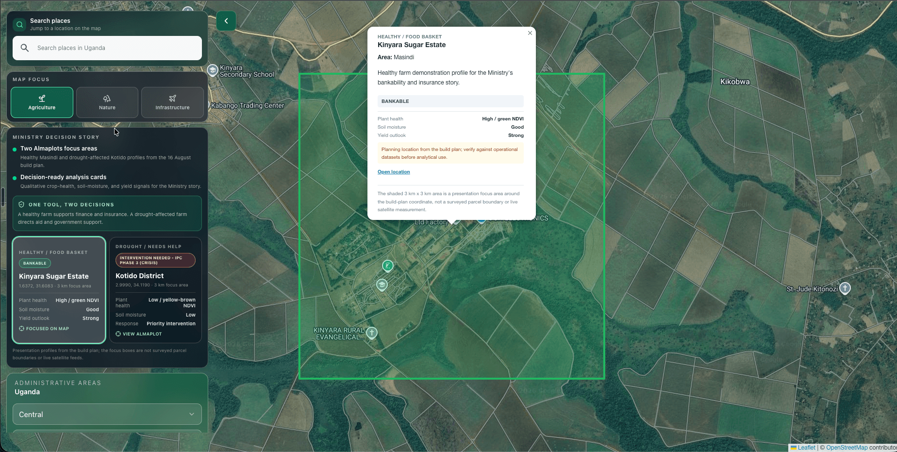
Agriculture, flood intelligence, multi-hazard intelligence and government decision support.
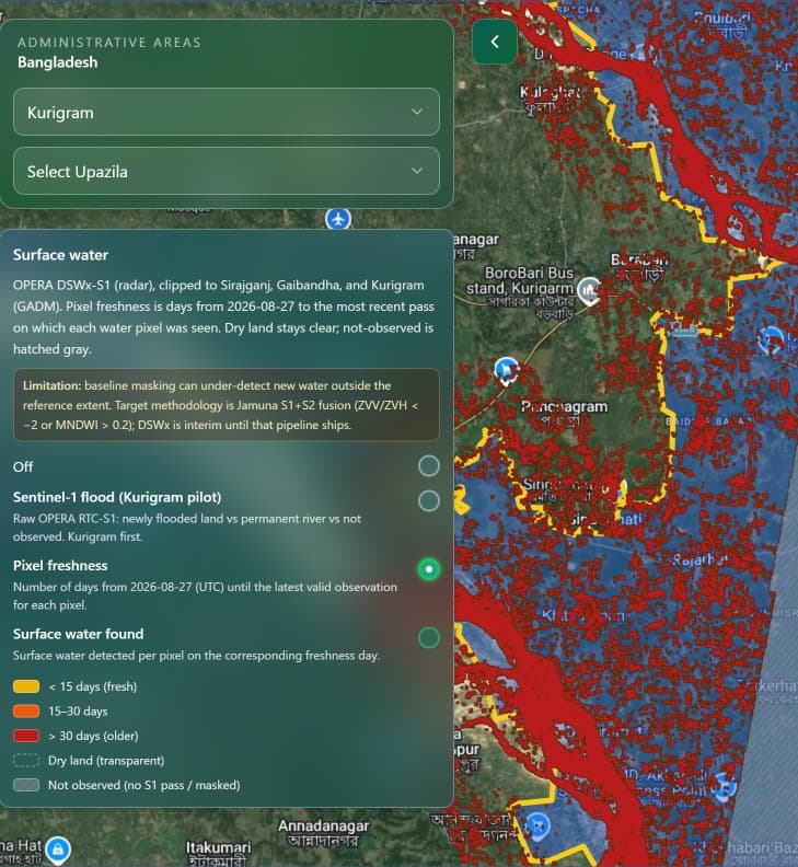
A map-led operating view combining surface-water observations, geography and freshness signals.
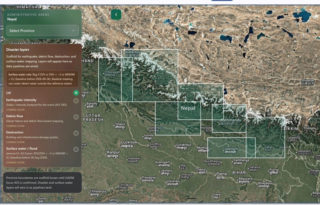
Earthquake, debris-flow, destruction and surface-water layers in one decision environment.
ACROSS COMPLEX INDUSTRIES
Our geospatial work applies across defence, security, land administration, civil infrastructure, maritime, energy, mining, agriculture, forestry, environmental monitoring and disaster response.